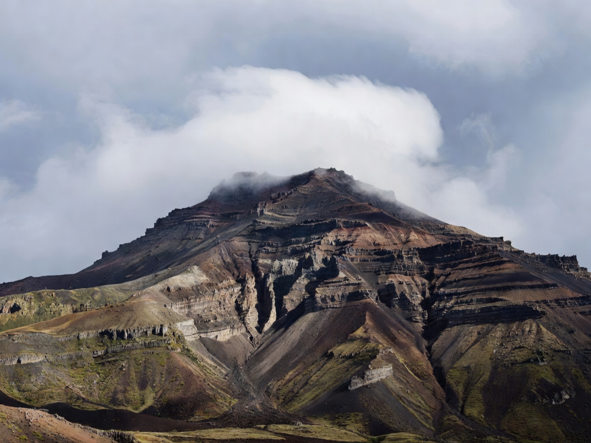
Shield volcanoes
Shield volcanoes have broad, gently sloping profiles created by relatively fluid lava spreading over wide areas. Their scale can be deceptive. A low angle does not mean a short route, and exposed surfaces can make wind or heat significant.
Travel may involve long approaches, open horizons and limited shelter. Viewpoints can be accessible from roads while a full crossing of the wider volcanic area requires careful time and weather planning.
Stratovolcanoes
Stratovolcanoes are steep, layered cones built from successive lava flows, ash and other deposits. Their upper slopes can be rough, eroded or snow-covered. Lower slopes may contain roads, settlements or vegetation, while the summit environment changes quickly with elevation.
For visitors, the visible cone is only part of the route decision. Check permitted paths, current weather and any official restrictions. Do not approach active hazards or assume that a clear view indicates safe access.
Volcanic cones
Cinder or scoria cones are smaller volcanic hills formed from loose fragments around a vent. Their surfaces can be steep and unstable. The dark, granular material often gives way underfoot, making descent harder than ascent.
Many cones appear isolated, but their position may relate to a larger volcanic field. A group of cones can create a useful landscape sequence: compare profile, vegetation, erosion and surrounding lava without leaving designated routes.
Calderas and crater systems
Crater is a general term for a volcanic depression. Caldera describes a much larger collapse feature. Some calderas contain lakes, settlements, lava domes or later cones. Others are heavily eroded and difficult to recognise without a map.
Rim routes can offer strong viewpoints but may be exposed or narrow. Interior access varies by site. Barriers, notices and local advice take priority over any general description.
Fissure systems and lava plateaus
A fissure is a crack or linear opening through which magma can emerge. Fissure activity may build aligned cones and extensive lava surfaces rather than one central mountain. Lava plateaus form where flows spread across broad areas and later erosion cuts into them.
These landscapes reward map reading. A route may cross several flow units, drainage channels and older surfaces. Distances, footing and shade should be assessed from current local information rather than inferred from a photograph.
Volcanic islands
Volcanic islands combine landform and coastline. Cliffs, sea stacks, black beaches and caldera walls may occur close together. Island weather can shift quickly, while ferries, roads and accommodation create practical constraints.
Good for
Broad shields suit landscape-scale viewing. Stratovolcanoes suit profile and elevation study. Cones suit short-form geology where permitted. Calderas suit map-based comparison. Fissure fields suit visitors who want to read flow patterns.
What to know
Form is not a safety rating. Follow official routes and restrictions. Related guides: rock and processes, seasons, and route planning.