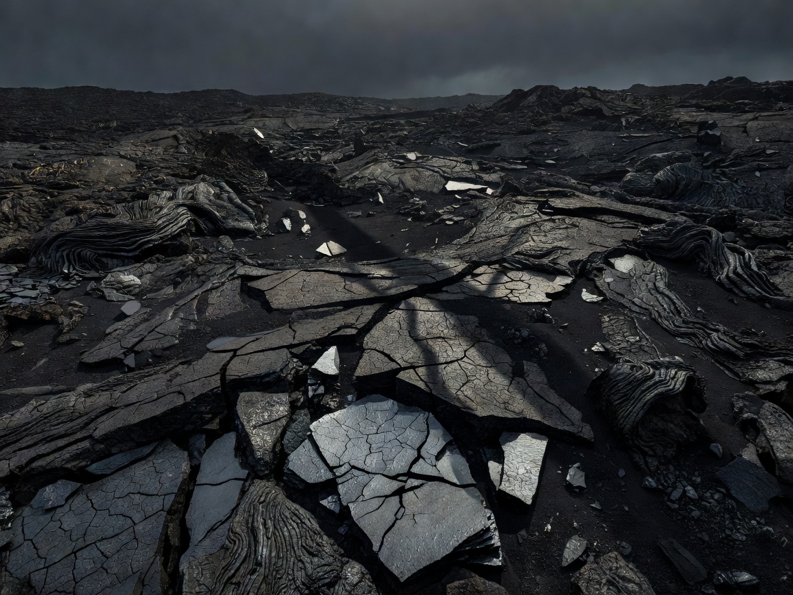
Lava fields
A lava field is an area covered by one or more flows. The surface may be smooth, ropy, blocky or heavily fractured, depending on how lava moved and cooled. A dark, apparently level field can still contain sharp edges, hollows and uneven footing.
For travel, the important distinction is between a marked path and the wider field. A route may cross a stable, managed section while nearby ground remains difficult or prohibited. Do not leave permitted routes to inspect formations.
Basalt and other volcanic rock
Basalt is a common dark volcanic rock formed when fluid lava cools. It can appear as rough blocks, columns, ridges or fine-grained surfaces. Columnar joints develop as some lava cools and contracts. Their regular geometry is a cooling structure, not evidence of construction.
Volcanic landscapes may also include lighter pumice, ash-rich deposits and rocks altered by heat or water. Colour alone is not a reliable field identification method. Site interpretation signs and geological sources provide better context.
Ash, scoria and loose ground
Ash consists of very fine volcanic particles. Deposits can be compacted into layers or reworked by wind and water. Scoria is a rough, vesicular volcanic material containing many gas-formed cavities. Both can produce unstable or tiring walking surfaces, especially on slopes.
Rain can cut channels through loose deposits. Dry weather can make fine material dusty. Neither condition is universal, so inspect local guidance before setting a route length.
Crater landscapes and calderas
A crater is a depression associated with volcanic activity. A caldera is a larger collapse feature formed when a volcanic system loses support beneath part of its surface. The terms describe landforms, not automatic statements about present danger.
Caldera rims can provide broad views but may involve steep, exposed or eroded ground. A crater floor may look sheltered while still being subject to access rules or changing conditions. Follow barriers and official instructions.
Geothermal landscapes
Geothermal areas show heat moving through the ground. They may contain warm water, steam, altered rock or mineral deposits. These areas can be fragile and unpredictable. Visitors should remain on designated paths and never handle gases, enter restricted ground or approach vents.
Erosion patterns
Rain, frost, waves and wind reshape volcanic deposits. Water can expose layers, carve gullies and remove fine ash. Coastal cliffs may reveal different flows stacked through time. Erosion makes the landscape legible, but it can also create unstable edges.
Good for
Lava fields suit visitors interested in surface texture and flow structure. Craters and calderas suit broad landscape reading. Geothermal areas suit guided interpretation where access is permitted. Each has different footwear, weather and route demands.
What to know
General geology explains processes, not current site conditions. Check official access notices, weather and protected-landscape rules. Related guides: landforms, regions, and planning.