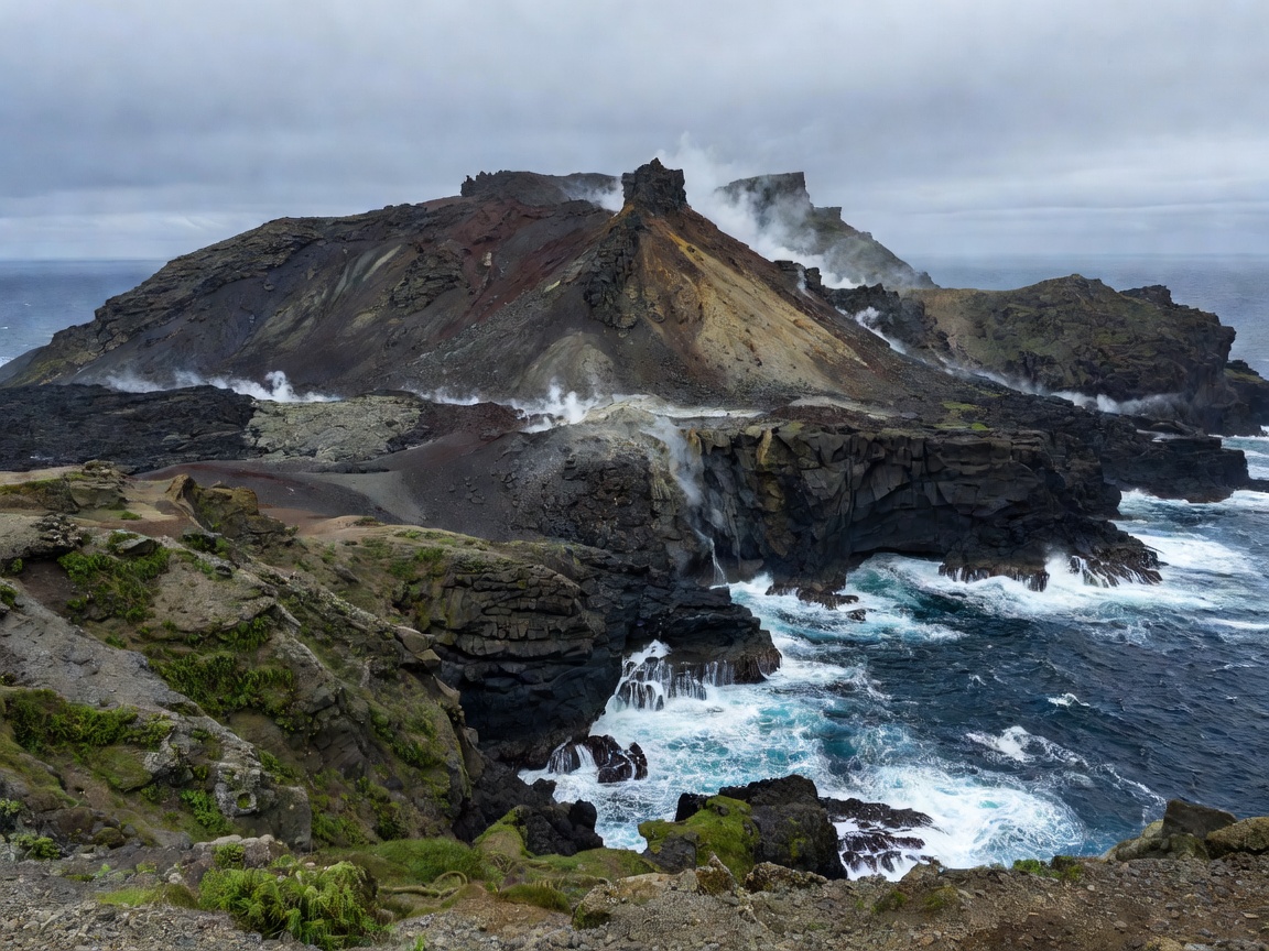
01 / REGION
European Volcanic Regions
Compare Iceland, Italy, Greece, the Canaries, the Azores and mainland volcanic landscapes.
Read regional guideEuropean volcanic landscape atlas
Use this field guide to compare Europe's volcanic regions, read their rock and landforms, and plan travel around terrain, weather, daylight and access.
Field guide index
Five practical routes through volcanic geography. Each guide separates general context from current site conditions.
Compare Iceland, Italy, Greece, the Canaries, the Azores and mainland volcanic landscapes.
Read regional guide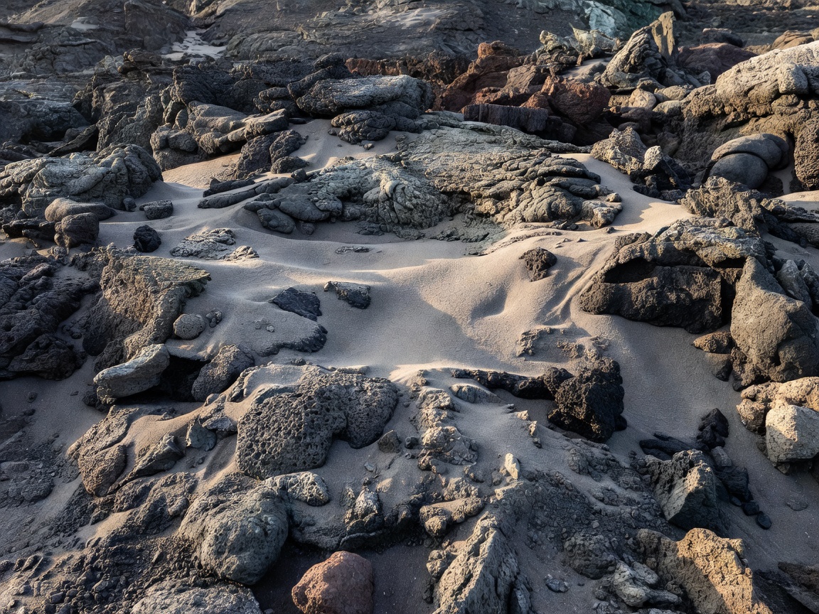
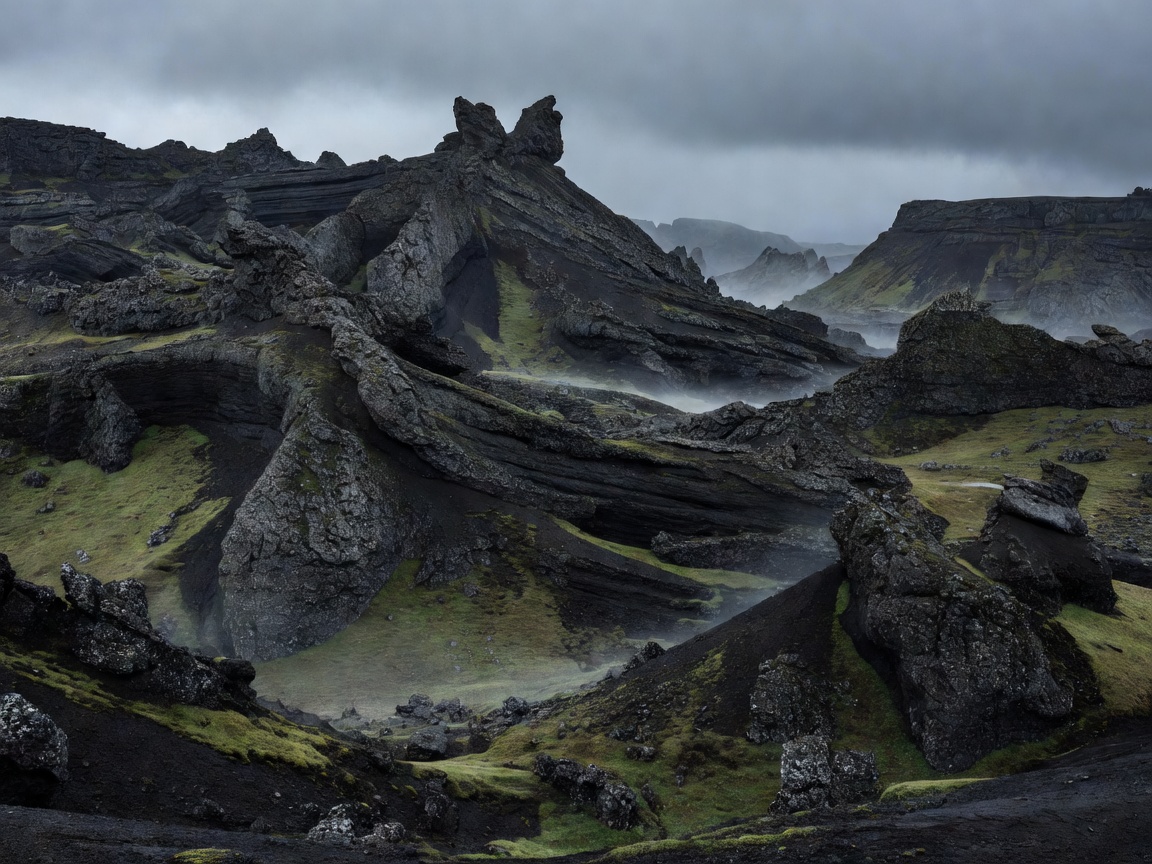
Learn how lava fields, basalt, ash, calderas and erosion create different ground conditions.
Read geology guide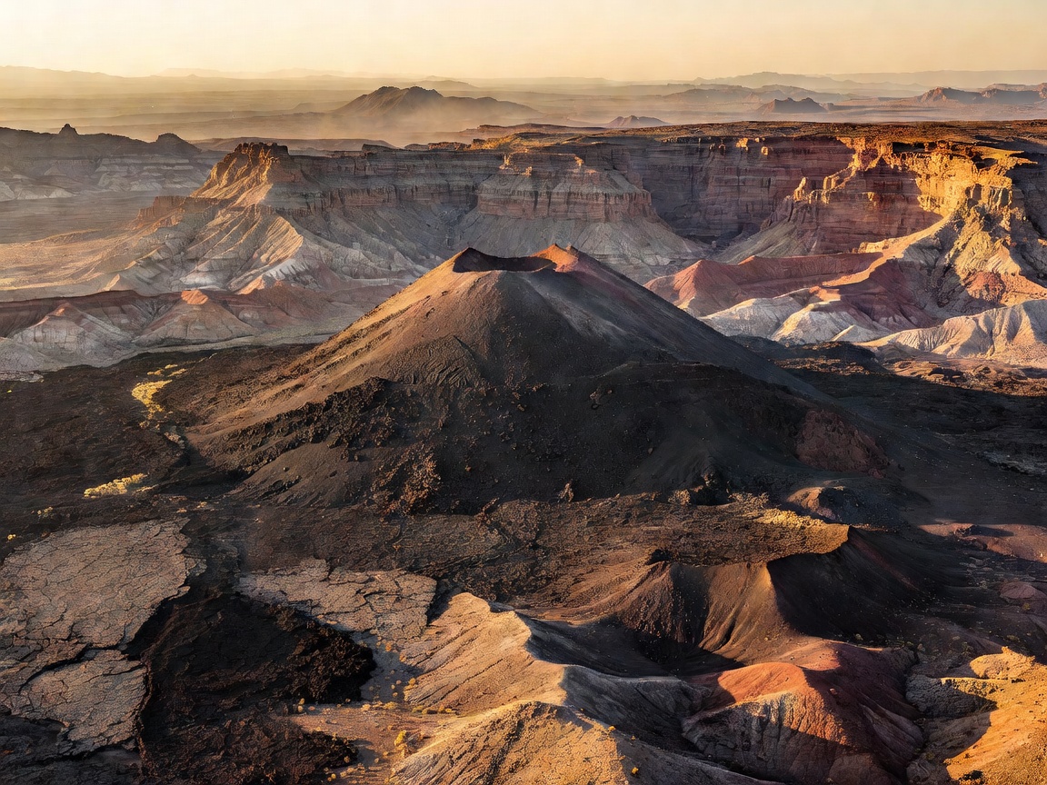
Identify shields, stratovolcanoes, cones, fissures, plateaus and volcanic islands.
Read landform guide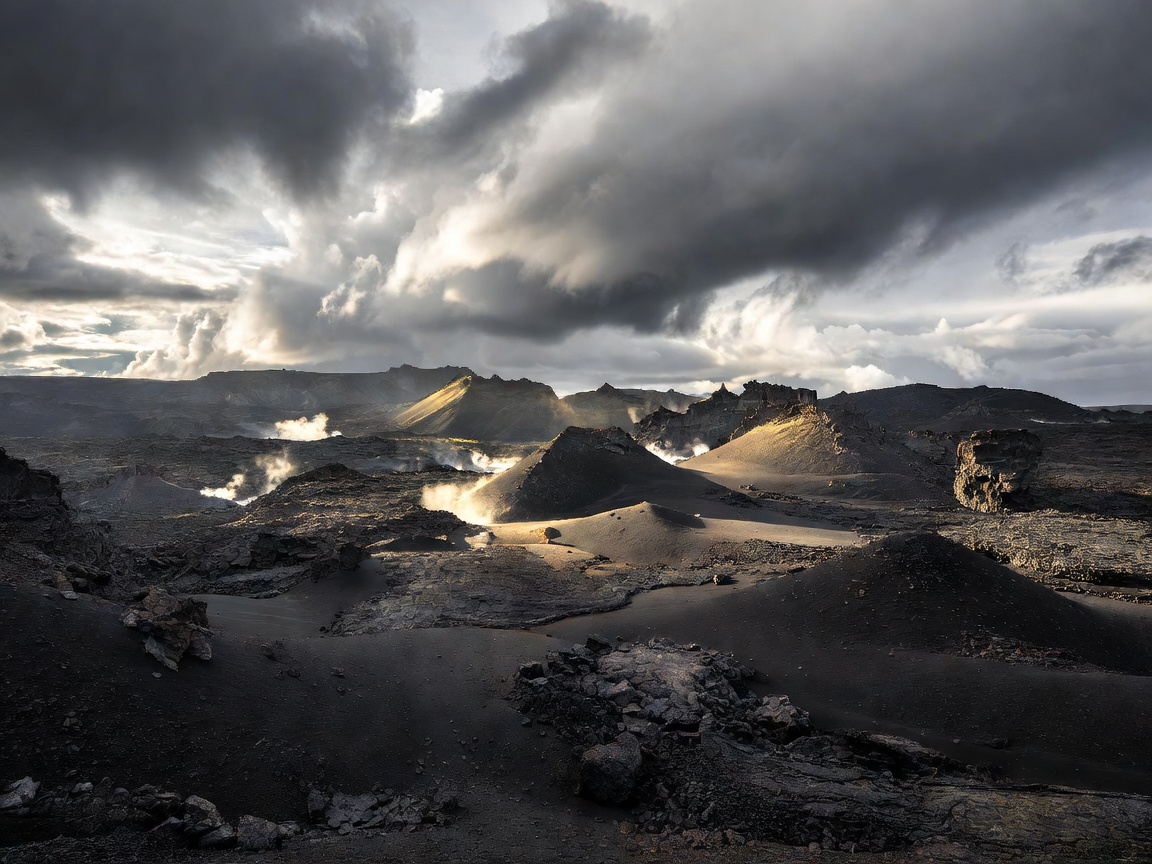
Match daylight, rain, snow, wind and visitor pressure to the type of landscape you want to see.
Read seasonal guide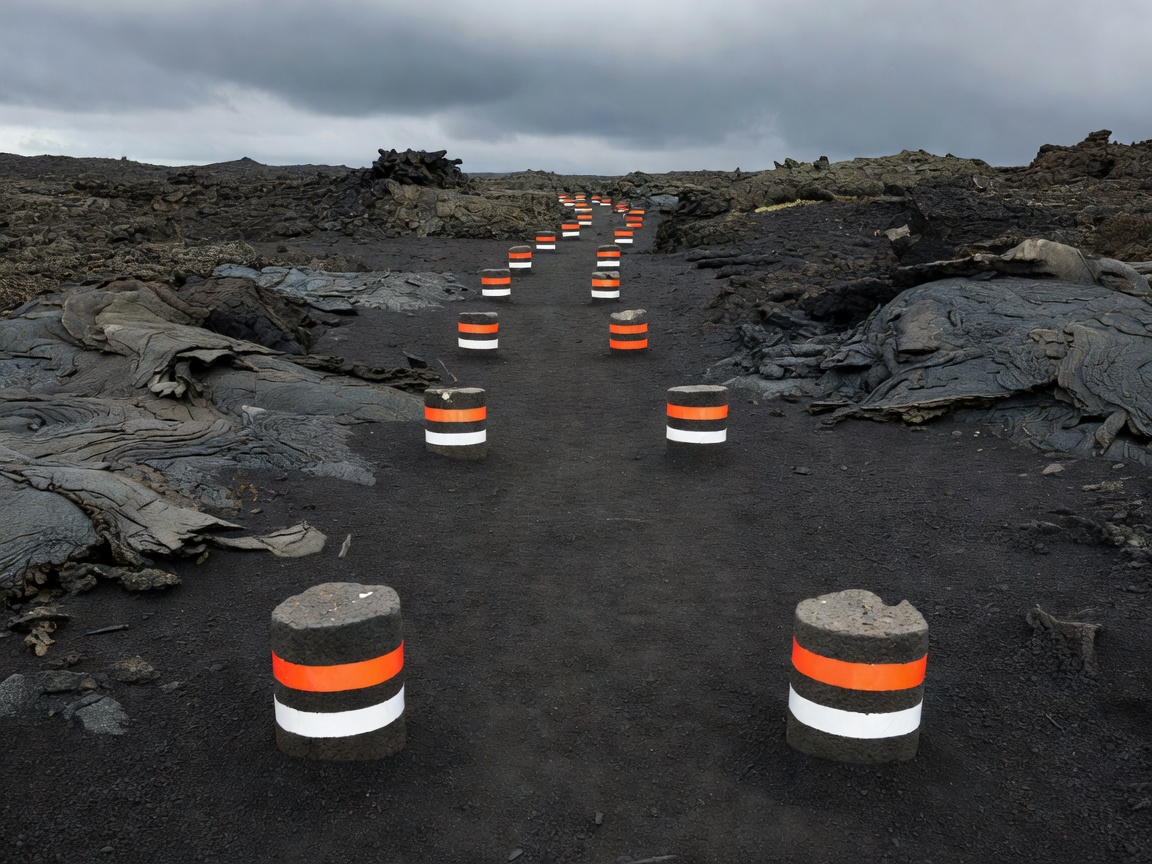
Build a sensible plan around transport, accommodation, terrain, rules, clothing and contingencies.
Read planning guideA working sequence
Before choosing a route, identify the region. Then read the rock, the form of the ground, the permitted access and the season. This simple sequence helps separate a striking map symbol from a practical travel plan.