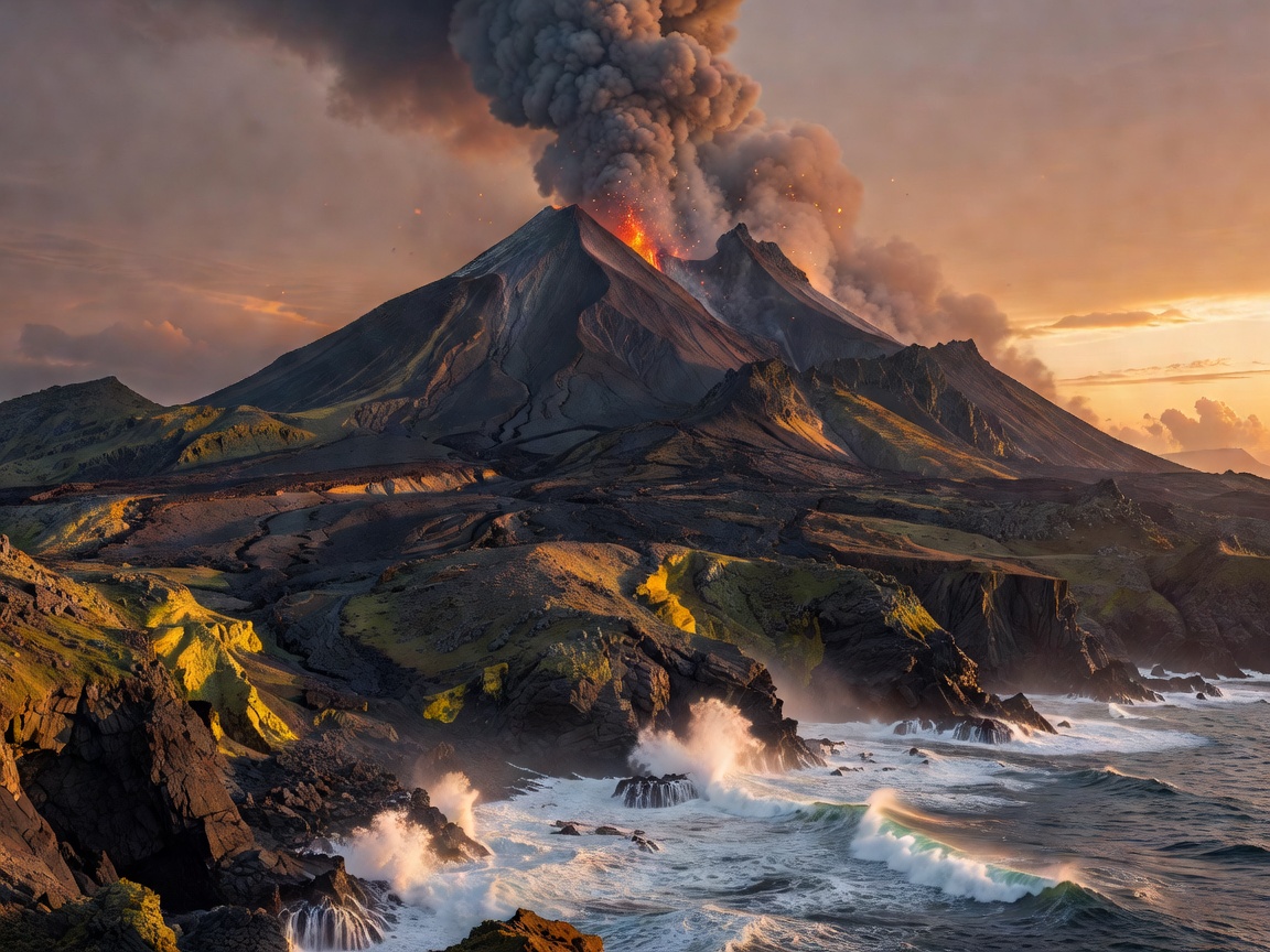
One continent, several volcanic stories
Iceland sits across the Mid-Atlantic Ridge, where crust is created as plates separate. Its landscapes include lava fields, volcanic mountains, black beaches and geothermal ground. Weather can change quickly, and exposed terrain often makes wind and visibility important planning factors.
Italy contains several volcanic settings rather than a single volcanic belt. The mainland, islands and southern arc show different relationships between magma, crust and the Mediterranean basin. A coastal volcanic island, a broad upland lava surface and a steep cone may all require different footwear and route choices.
Greece is shaped by the Hellenic volcanic arc and by long interaction between land, sea and erosion. Volcanic islands can combine caldera walls, ash-rich slopes, lava outcrops and settlement roads. The attractive viewpoint may be easy to reach, while a rougher geological section may require more time and care.
Atlantic island regions
The Canary Islands and the Azores are island groups with distinct volcanic histories and climates. The Canaries often present dry lava fields, dark volcanic slopes and sharp contrasts between coast and interior. The Azores are wetter and greener, with hydrology, cloud and pasture altering how volcanic forms appear on the ground.
These island settings are not interchangeable. A dry surface may provide clear visibility but little shade. A humid landscape can soften edges with vegetation while making paths slippery. Island transport also concentrates around ports, airports and settlement corridors, so accommodation location matters.
Mainland Europe and older volcanic terrain
Mainland Europe includes volcanic areas whose visible forms have been modified by erosion, sedimentation and later landscape change. Some are recognised through basalt outcrops, volcanic plateaus, isolated plugs or broad uplands rather than obvious cones. In central and western areas, the geological interest may be distributed across several sites instead of one dramatic summit.
Use regional geological surveys, protected-area information and local visitor guidance for site-specific interpretation. A general map explains the broad setting; it does not confirm current access, trail condition or hazard status.
Regional comparison
- Iceland: exposed North Atlantic weather and extensive young-looking volcanic terrain.
- Italy: varied mainland and island settings with strong local differences.
- Greece: volcanic islands, coastal geology and dry-season heat in many areas.
- Canaries: arid to semi-arid lava landscapes and steep island relief.
- Azores: humid Atlantic conditions, vegetation and volcanic lakes.
- Mainland Europe: older, eroded or dispersed volcanic features.
Good for
Choose Iceland for broad exposed terrain, the Canaries for dry lava forms, the Azores for wet volcanic scenery, and Italy or Greece for cultural and coastal combinations. These are broad planning signals, not guarantees for every site.
What to know
Volcanic appearance does not by itself indicate current activity. Follow official notices, barriers and route rules. Never treat this guide as a substitute for local safety information.